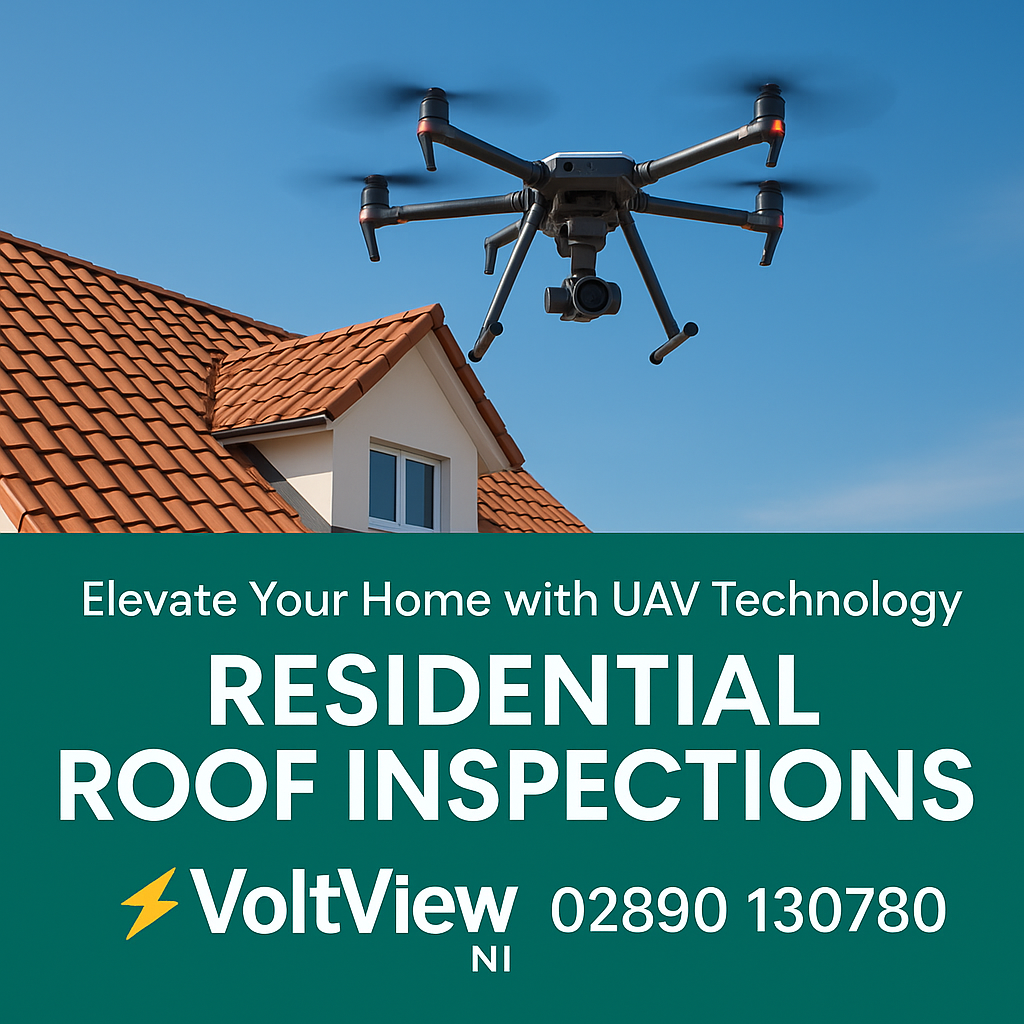

U.A.V. Roof Inspections Belfast & Northern Ireland CAA Certified, Same-Day Reports
From £149 – Safe, ladder-free inspections with HD photos & digital reports. Book online in minutes.


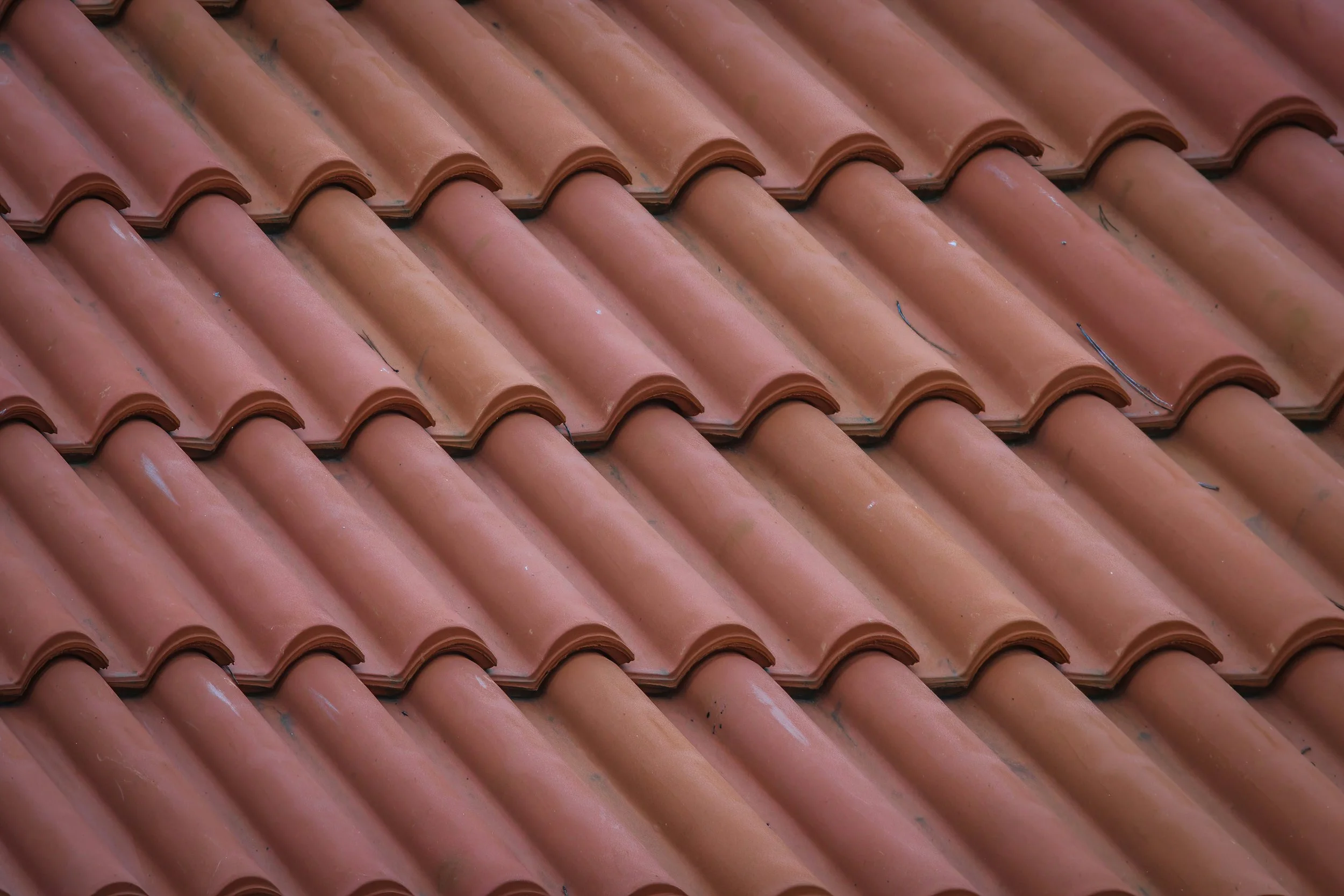
✅ Roof Inspections – Identify missing tiles, slipped slates, leaks, and flashing issues before they become costly problems.
✅ Chimney & Gutter Checks – Spot cracked mortar, loose brickwork, or blocked gutters that can cause water damage.
✅ Insurance Reports – Clear before-and-after evidence for storm damage, claims, or property sales.
🛡️ CAA Certified & Fully Insured – Every flight is carried out by licensed drone pilots under UK regulations, with full airspace permissions secured when required..
How It Works
Book online in minutes
30-minute on-site scan (no ladders, no risk)
Receive HD images + a clear inspection report for total peace of mind

Pricing
Standard Roof Scan: £149
Roof + Chimney Package: £199
Full Property Inspection: £249
Standard Roof Scan – £149
Quick, Affordable Roof Check
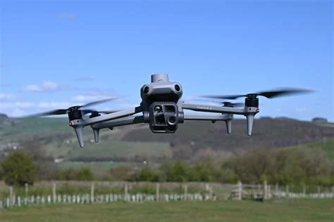
A fast, entry-level inspection for homeowners who just want a clear view of their roof. Using the DJI Mini 4 Pro, we capture sharp aerial images in under 30 minutes — no ladders, no scaffolding, no hassle.
What you get:
30-minute roof scan
High-resolution images of your roof
Same-day digital report with our notes
Ideal for catching missing tiles or early damage before it spreads.
Roof + Chimney Package – £199
Detailed Roof & Chimney Survey
Our most popular option across Belfast. This package looks at the two most common problem areas — your roof and chimney. We spot cracks, leaks, and storm damage so you know exactly what needs attention.
What you get:
30-minute inspection of roof + chimney
High-resolution photos and short video clips
Same-day written report with recommendations
Perfect for storm damage checks, insurance claims, or property sales
Full Property Inspection – £249
Complete Roof, Chimney & Gutter Inspection
The all-in-one survey that gives you the full picture. We check every major exterior element of your property — roof, chimney, and gutters — so you can plan maintenance, protect your home, and avoid costly repairs.
What you get:
45–60 minute full inspection
Full set of images + video covering roof, chimney & gutters
Same-day digital report with detailed findings
Best for homeowners preparing to sell or landlords planning maintenance
-
![A drone flying near a rooftop chimney during sunset, with the sky showing a gradient of purple, orange, and blue colors.]()
“Volt View NI’s £149 drone scan caught a loose tile on my Belfast semi-detached before it became a £1,000 repair. Super quick report, no hassle!”
Sarah, Belfast
-
![A drone with a camera attached to its underside hovers over a residential neighborhood with terracotta-tiled roofs and a church steeple in the background.]()
“After Storm Ciara hit Lisburn, Volt View’s drone found gutter damage in 30 mins. Their HD report got my insurance claim approved fast!”
Michael, Lisburn
-
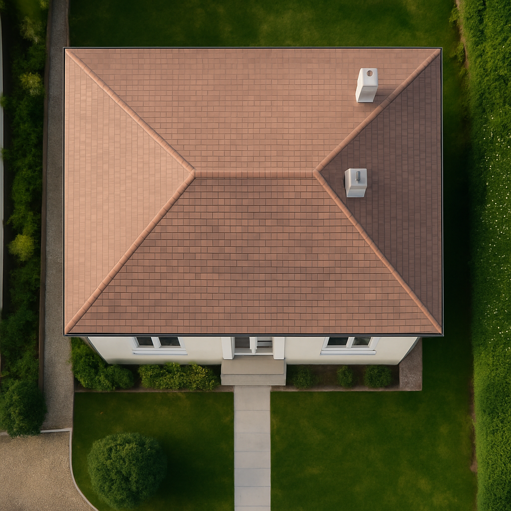
![An aerial view of a house with a brown tiled roof, green lawn, and surrounding trees and shrubs.]()
“Needed a pre-sale roof check for my Antrim bungalow. Volt View’s £199 scan gave clear photos and peace of mind. Sold in weeks!”
Emma, Antrim


Why drones are the smarter choice
Safe: No ladders, no scaffolding, no risk.
Fast: A full scan takes around 30 minutes on site.
Accurate: High-resolution images and video show every detail of your roof.
Same-day results: You’ll receive a clear digital report with photos and recommendations within hours.
At VoltView NI, all flights are carried out by CAA-certified and fully insured pilots, ensuring safety and compliance every step of the way.